
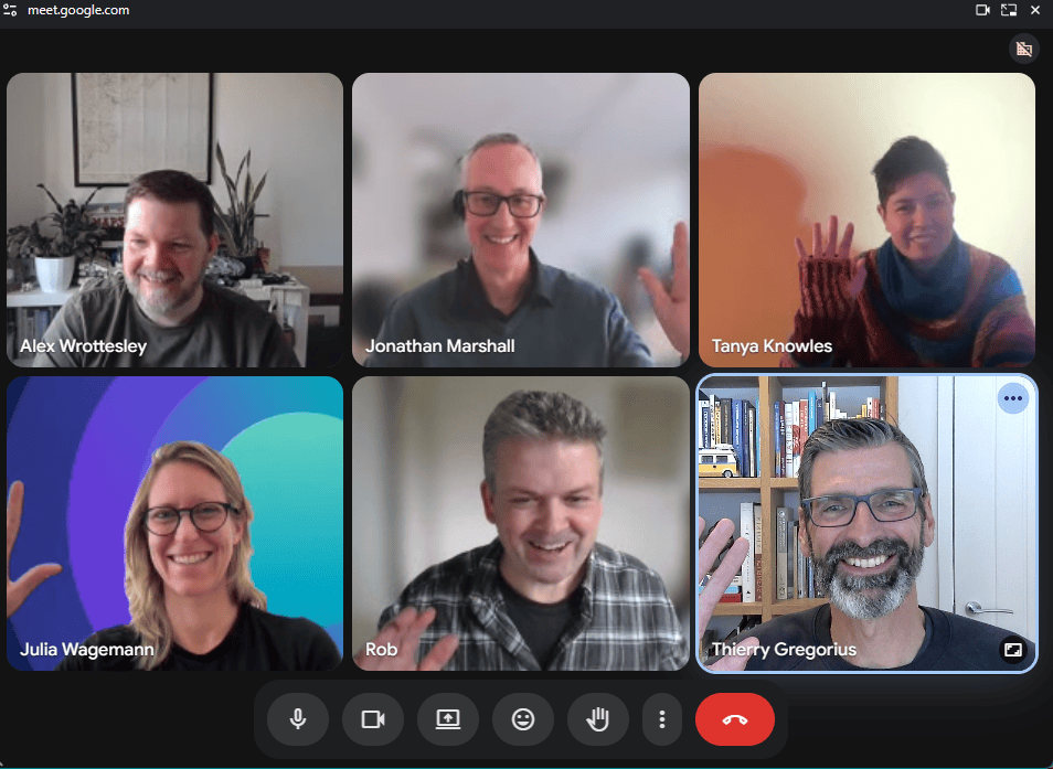
Earlier today I hosted a private roundtable with an intimate group of geo-leaders. An experiment with no preset agenda – just a facilitated space to bounce off with peers.
We started off by crowdsourcing the issues we wanted to cover. Two themes rapidly emerged:
- What is holding back geospatial adoption and impact.
- The emotional burden that geospatial leaders carry in a world of rapid change, difficult choices and uphill battles.
I was surprised and encouraged by how quickly group members – many of whom didn’t know each other – opened up about their true feelings.
There is an immediate lesson here for leaders. If you’re wondering why your teams aren’t making progress, or aren’t willing to name elephants in the room, are they feeling safe enough to tell you? Today I took great care in creating a safe environment – grounding, introductions, contracting (Chatham House rules), and letting the group define the agenda. What could you do better in your own interactions?
The leaders in today’s group showed great courage in sharing personal issues and feelings. This was quickly rewarded with mutual group support.
And so, another lesson: vulnerability begets trust and support. If you act as a leader who totally has it together, don’t be surprised if you end up surrounded by team mates pretending to be the same, going nowhere fast.
Resilience and wellbeing also came up. Everyone shared their own examples of how they keep themselves sane. But whose responsibility is wellbeing? Resilience has become a buzzword. It can also be a lazy way for employers to push all responsibility to individuals. In truth, wellbeing requires healthy systems.
Ah, systems. Which brings us to Geospatial!
Here, the consensus was that geospatial innovation is still hampered by a lack of scale and impact. Being a GIS expert may have felt “very comfortable” 10 years ago; today, less so. While there are “exciting” opportunities, it is still an industry driven by toolsets. Too often, it still lacks a strategic mindset and seat at the decision-making table.
The solution? We need to tell better stories. People don’t care about data or facts, they care about the narrative. Someone mentioned a children’s book, The Tiger Who Came to Tea, as a metaphor. What can we learn from this book’s narrative arc to help people understand the value of systemic decision making with geospatial intelligence? Fill in your own blanks here.
So: Geospatial is about people, and people are about stories. We all know this, and still we don’t do it enough. But today’s group perfectly role-modelled how to get started:
By being human.
Thanks to all who invested their time in today’s roundtable experiment. If you’d like to take part in future editions, or discuss how to help your team achieve meaningful progress, drop me a line.

